| Technical details | |
| Producer: | Karl-Heinz Beständig (AT) |

nauCAT is online nautical magazine. We do not sell products on our website (except advertisement space).
Pošalji poruku
| Technical details | |
| Producer: | Karl-Heinz Beständig (AT) |
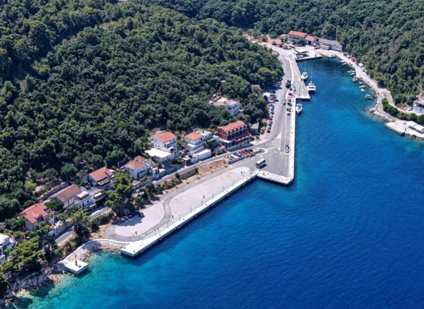
This book is made up of charts of the coastline and harbours, accompanied by brief descriptions. This layout has been used for many years, as it has the advantage of being very easy to read. Moreover, it allows skippers and crews to compare the chosen destination with nearby harbours and anchoring coves, and to have a quick glance at the chart when finally approaching the destination. This pilot book follows the coast from the north to the south, although a different approach is used where the islands extend in more than one parallel line to the coast, as it is necessary to do things slightly differently. We have given priority to the most relevant sailing details, like the factors influencing the choice of where to moor or anchor on the basis of the specific conditions of the moment. Wind directions are indicated by small arrows (see the table below) and highlight under which wind conditions a harbour or anchorage can become uncomfortable and even dangerous.
There's also an English Edition including over 800 maps & 80 charts notes on the weather & the marine environment.