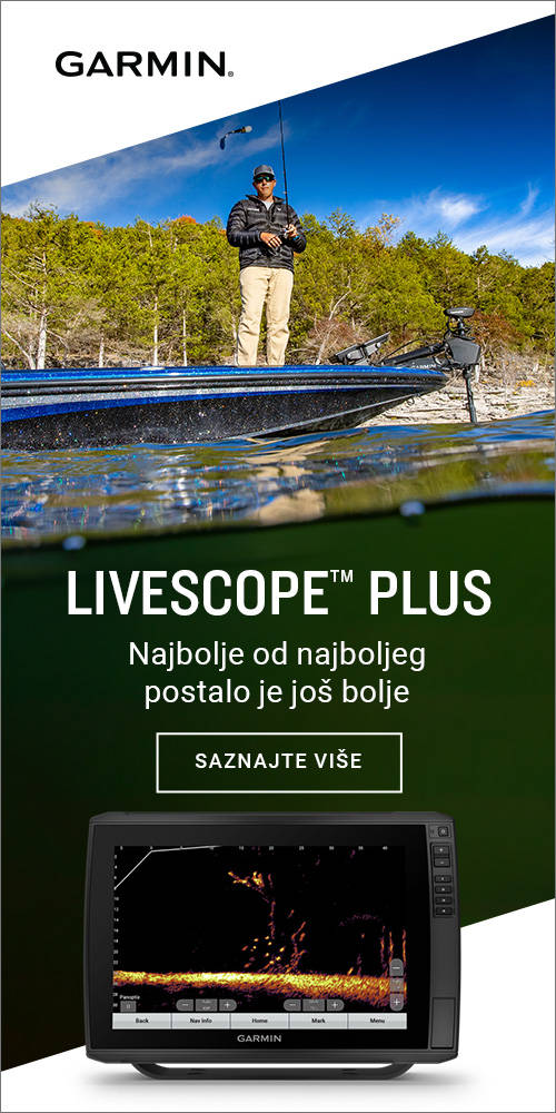
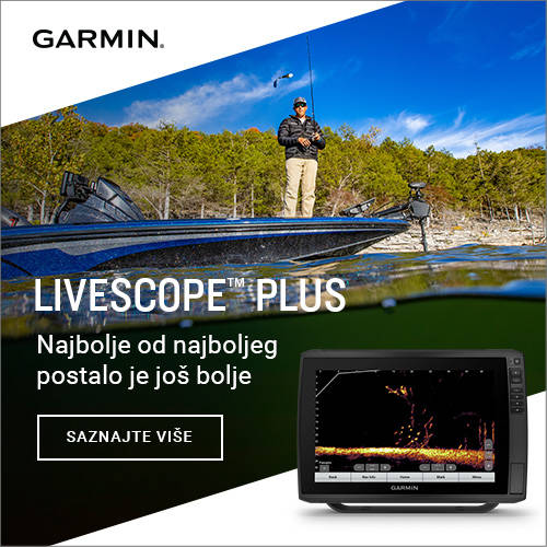
Garmin Hrvatska
www.garmin.com/hr-HR

nauCAT is online nautical magazine. We do not sell products on our website (except advertisement space).
Pošalji poruku
| Technical details | |
| Producer: | Garmin (CH) |
By Garmin
The STRIKER Plus 4 fishfinder with a bright 4.3” display and built-in GPS features CHIRP sonar for crystal-clear images and Quickdraw Contours map drawing software, which stores up to 2 million acres of content with 1’ contours. The built-in GPS lets you mark and navigate to waypoints and shows your boat’s speed.
Nobody knows the waters you fish better than you and your fellow fishermen. While you are trolling the shorelines and the depths, Quickdraw Contours mapping software creates HD fishing maps of the places you’ve been. No special knowledge is required. STRIKER Plus 4 can now store up to 2 million acres of your Quickdraw Contours maps with 1’ contours.
The built-in, high-sensitivity GPS finds and maintains your position anywhere you go on the water. The GPS allows you to mark waypoints for different locations. So, if the fish are biting in 1 spot, you can mark it, and return to it on your next trip. Mark docks, boat ramps and other locations on the lake, and create routes back to them for your next trip.
GPS also allows STRIKER Plus 4 to show your speed on screen, so you can be sure you’re trolling at the right speed for the lure you’re using or in wake-controlled areas.
The STRIKER Plus 4 fishfinder makes fishing a breeze, and it’s built to work in any environment. The bright, sunlight-readable display gives you a clear view of what is below your boat, even on the brightest days. And the larger screen gives you a better view of what is happening below the boat. The intuitive user interface makes it simple to navigate to whatever feature you need, so you are ready for anything on the water.
• Includes dual-beam transducer with Garmin CHIRP traditional sonar for crystal-clear images and remarkable target separation
• Built-in Garmin Quickdraw™ Contours mapping software lets you create and store maps with 1’ contours for up to 2 million acres
• Built-in GPS lets you mark waypoints, create routes and view boat’s speed
• Bright, sunlight-readable 4.3” display and intuitive user interface
• Rugged design for every fishing environment
General
Physical dimensions 3.9'' x 6.9'' x 1.8'' (9.8 x 17.4 x 4.5 cm)
Weight 0.7 lbs (0.3 kg)
Water rating IPX7
Display type QSVGA
Display resolution 272 X 480 pixels
Sonar Features & Specifications
Dual-frequency (50/200 kHz) sonar capable
Dual-beam (77/200 kHz) sonar capable
Frequencies supported Traditional: 50/77/83/200 kHz
Transmit power 200 W (RMS)
Bottom lock (shows return from the bottom up)
Water temperature log and graph
Fishfinder Features
Split-screen zoom
Ultrascroll® (displays fish targets at higher boat speeds)
Fish Symbol ID (helps identify fish targets)
AutoGain Technology (minimizes clutter, maximizes targets)
Adjustable depth line (measures depth of underwater objects)
A-scope (real time display of fish passing through transducer beam)
Water temperature sensor included
Additional
Quickdraw Contours
Integrated GPS
Mark Waypoints
Course over Ground (COG)
Current draw @ 12V: 0.23A

Glomex satellite TV antennas are developed to offer the perfect solution for receiving all FULL HD and 4K channels and ensuring high performance standards of signal reception